Project Overview
GPR Survey was commissioned by the Ministry of Environment, Water and Agriculture (MEWA) to investigate a site historically used for unregulated tire dumping over a period of approximately 35 years. The ministry required a defensible subsurface map of the full extent and depth of buried tire waste across the site footprint, to support an environmental remediation and land-use decision.
Government environmental projects of this nature carry a higher evidentiary bar than typical commercial utility surveys: findings can inform regulatory action, remediation budgets, and potentially enforcement decisions. The investigation was scoped and executed accordingly, with every GPR-based depth and extent claim backed by physical verification before being included in the final report.
Why This Site Was Technically Challenging
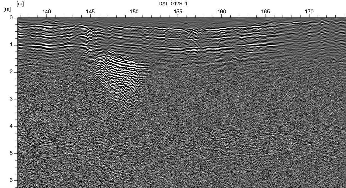
Tires are among the most difficult targets in subsurface radar work. Their internal steel belting generates strong, often saturating reflections that can mask genuine stratigraphic boundaries, while their irregular packing geometry — unlike a uniformly bedded soil layer — produces a scattered, hyperbolic reflection pattern rather than a clean horizontal interface. Distinguishing three superimposed tire layers, separated by intervening fill rather than clean soil, required careful gain and frequency management to avoid one layer's reflections obscuring the layer beneath it.
The site's surface condition added a further layer of difficulty: 35 years of unregulated dumping had left the ground surface itself littered with surface-scattered tire fragments, construction debris, and general waste, which required careful line planning to ensure GPR antenna contact and tow-path consistency across the full 75,000 m² area.
Methodology
Site Reconnaissance & Grid Planning
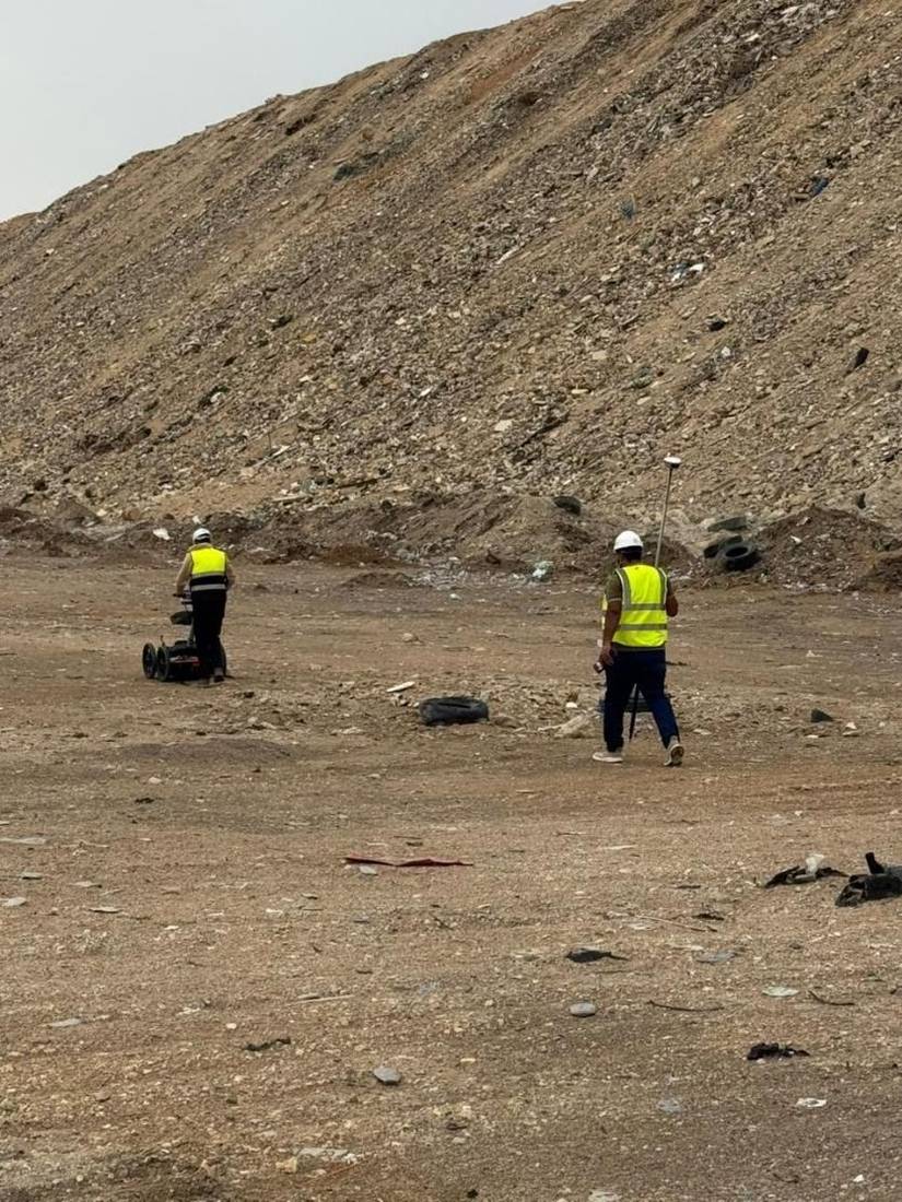
The full 75,000 m² footprint was walked and divided into a systematic survey grid, accounting for surface debris, vehicle access, and ground condition to plan continuous, repeatable GPR tow lines across the site.
Survey Control & GNSS Positioning
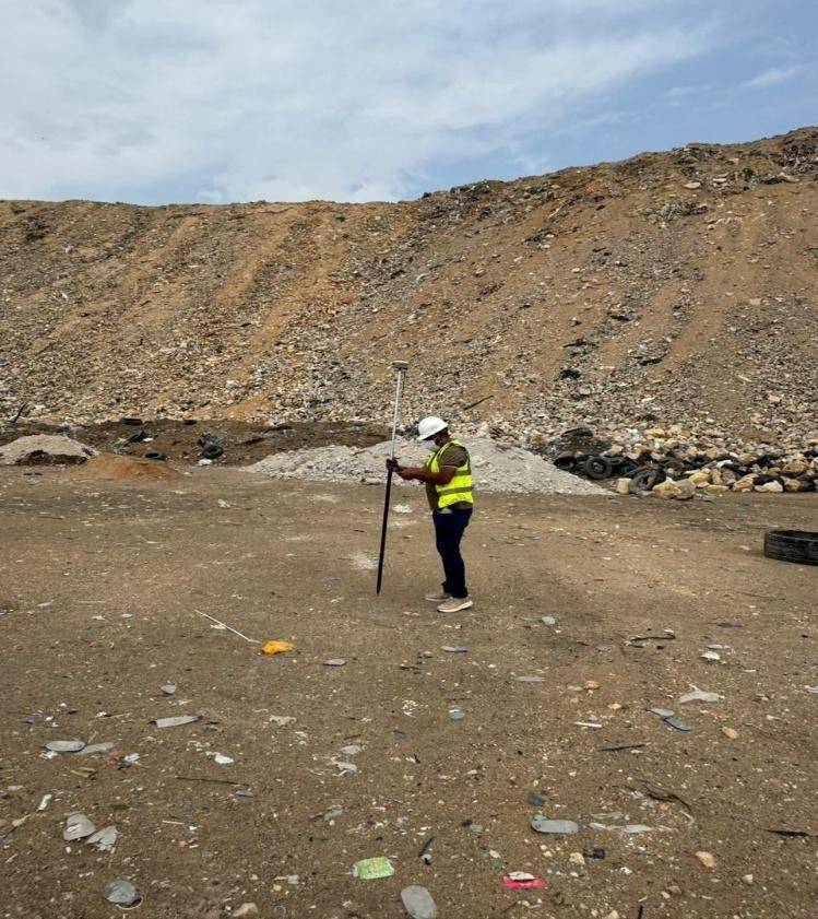
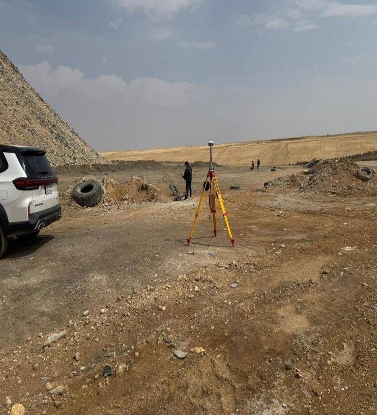
RTK-GNSS rover and total station equipment were deployed to establish survey control across the site, ensuring every GPR line and identified anomaly could be positioned with survey-grade horizontal accuracy and tied into a consistent site coordinate system for the final deliverable map.
Full-Coverage GPR Data Acquisition
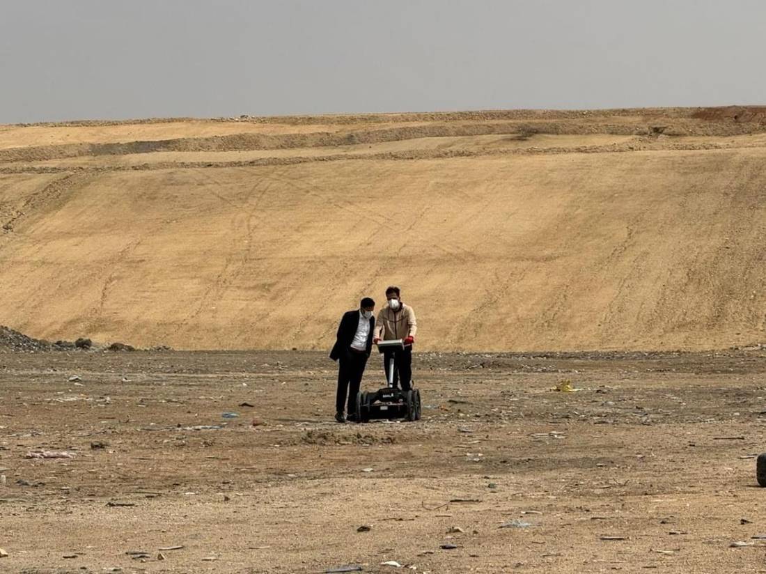
Low-frequency GPR antennas were deployed across the complete grid to maximize penetration depth, given the requirement to resolve features as deep as 12 meters. Survey lines were run in both orthogonal directions across representative zones to cross-confirm anomaly continuity and rule out single-line artifacts.
Radargram Interpretation & Layer Differentiation
Processed radargrams were interpreted to identify the characteristic scattered hyperbolic reflection signature of buried tire mass, distinct from surrounding fill and natural soil reflections. Three vertically separated anomaly zones were consistently identified across the survey area, at approximately 3 meters, 6 meters, and 12 meters depth, interpreted as three discrete historical dumping episodes separated by subsequent fill or soil deposition.
On-Site Trial Verification by Mechanical Excavation
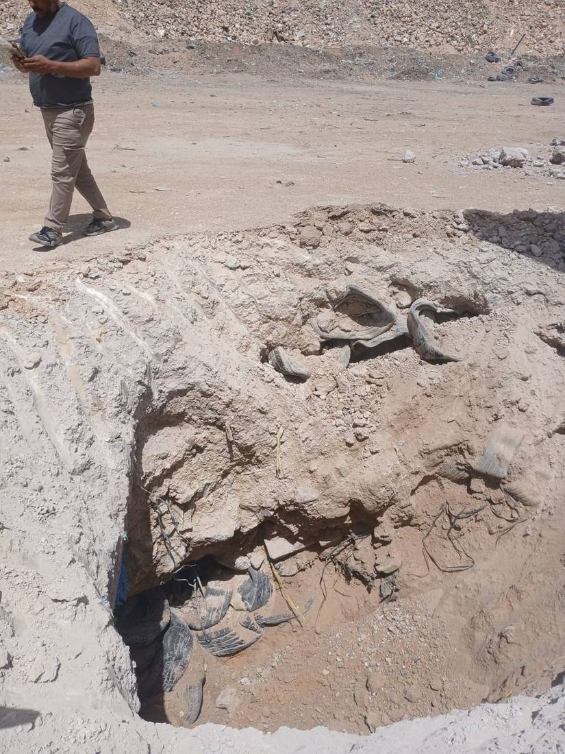
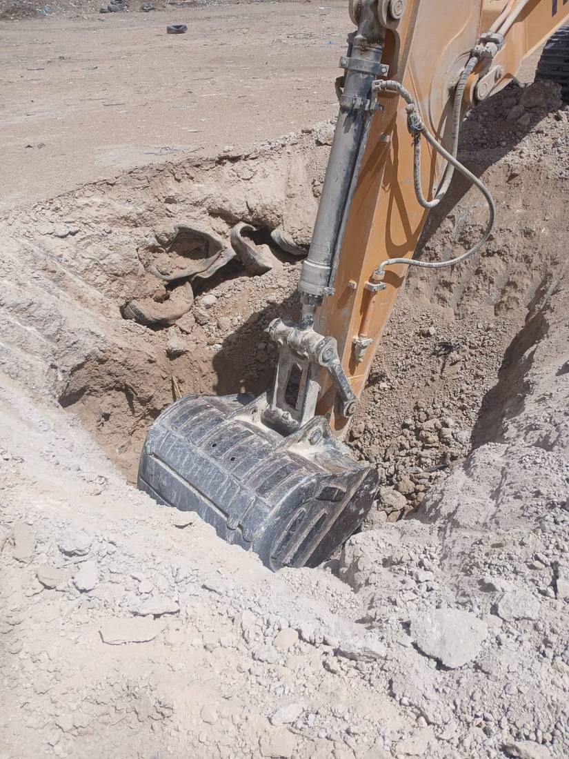
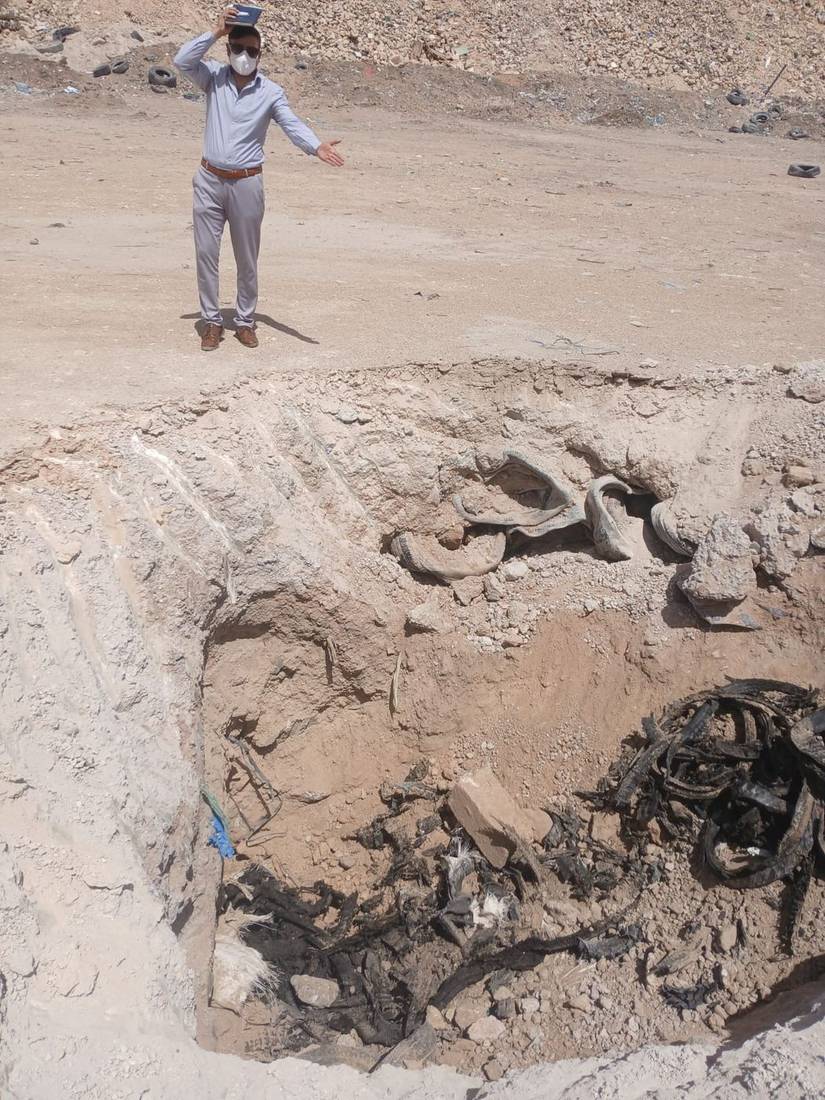
To meet the evidentiary standard required for a government environmental client, GPR findings were not reported on a non-intrusive basis alone. Targeted mechanical excavation was carried out at representative anomaly locations to physically expose and confirm tire material at each of the three interpreted depths, directly validating the GPR-based depth model before it was finalized in the report.
Mapping & Reporting
Confirmed anomaly zones were compiled into a site-wide map showing the lateral extent and depth of each of the three tire layers, supported by representative radargram sections and trial pit verification records.
Findings — Three-Layer Tire Stratigraphy
GPR data, corroborated by trial pit excavation, confirmed three vertically distinct buried tire layers across the survey area, consistent with three separate historical dumping phases over the site's roughly 35-year period of use:
Investigation Conclusion
The site contains three superimposed layers of buried tire waste at approximately 3, 6, and 12 meters depth, each corresponding to a distinct historical dumping episode separated by intervening fill or natural deposition. This layered stratigraphy indicates the site was used for unregulated tire disposal repeatedly over an extended period rather than in a single dumping event, with progressively older material found at greater depth.
Every depth and extent finding in the final report was independently confirmed by mechanical trial excavation at representative locations, rather than relying on GPR interpretation alone — a standard considered necessary given the regulatory and remediation decisions the ministry would base on these findings.
Deliverables
Project Timeline
The full 75,000 m² site was surveyed for data capture, including equipment mobilization and demobilization, within one week. Data processing, radargram interpretation, and trial pit cross-verification were completed over the following four days, for a total project duration of 11 days from mobilization to final report delivery.
Outcome
MEWA received a field-verified, defensible map of the site's buried tire waste extent and depth structure, providing the technical basis needed to scope environmental remediation and inform land-use decisions for the site going forward.