Project Overview
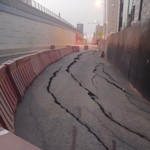
GPR Survey was engaged to investigate progressive pavement subsidence along a 2km section of Takhassusi Street in Riyadh, where longitudinal and transverse cracking had developed across multiple lanes, with localized settlement visible at the surface. The affected corridor runs directly alongside an active excavation zone and beneath the influence of the Riyadh Metro Blue Line elevated flyover, both of which were flagged as candidate contributing factors at the project's outset.
The client required a defensible, evidence-based root cause determination — not a presumptive one — before committing to a remediation design, given the cost and traffic-management implications of any corrective works on a live arterial road.
Methodology
The investigation followed a staged methodology designed to move from non-intrusive screening to physical verification, ensuring every conclusion in the final report was corroborated by at least two independent lines of evidence before being presented to the client.
Control Network & GPS Ground Control Points
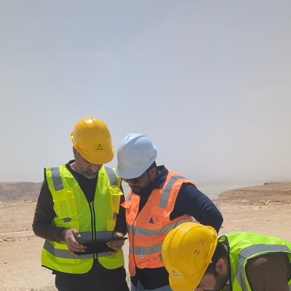
Prior to data acquisition, the field team established GPS ground control points along the corridor to provide a survey-grade spatial reference frame. This ensured every GPR scan line, trial pit, and crack observation could be tied to a consistent coordinate system and cross-referenced against the metro flyover's as-built alignment.
Surface Crack Mapping & Markification
The full 2km section was walked and the existing crack pattern was mapped and physically marked on the pavement surface, recording crack orientation, width, and spacing. This step is critical to GPR interpretation, since the orientation of surface cracking helps distinguish between reflective cracking from a buried structure, fatigue cracking from a moving traffic load, and settlement cracking from subgrade consolidation — each of which presents a different subsurface radar signature.
GPR Data Acquisition
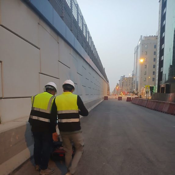
A multi-frequency GPR system was deployed along the full survey length in continuous longitudinal passes, supplemented by transverse tie-lines at regular intervals, to a maximum investigation depth of 5 meters. Lower-frequency antenna configurations were used to resolve deeper subgrade and fill conditions, while higher-frequency passes captured near-surface pavement layer integrity. All scan data was logged against the GPS control network established in Step 1.
Subsurface Anomaly Interpretation
Processed GPR profiles were interpreted to identify zones of subgrade disturbance, loss of compaction, and void development beneath the pavement structure. Anomaly zones were cross-correlated against their position relative to the metro flyover's pier foundations and the adjacent excavation's shoring line, to test whether subsurface disturbance clustered around either source.
Trial Pits for Physical Verification
Targeted trial pits were excavated at representative anomaly locations identified by GPR, to physically expose and verify subgrade condition against the radar interpretation. This step confirmed the presence of disturbed, loosened fill material directly beneath the most severely cracked pavement sections, validating the GPR-based depth and extent estimates before they were carried into the final report.
Root Cause Synthesis & Reporting
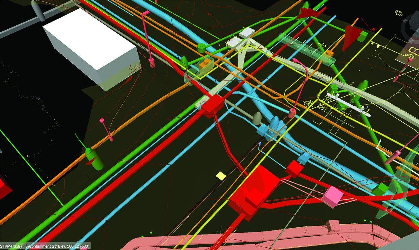
GPR results, trial pit findings, crack mapping, and the geometric relationship to both the metro structure and the excavation works were synthesized into a single root cause narrative, supported by depth-referenced GPR profile images and a marked-up plan of the full corridor.
Root Cause Findings
Investigation Conclusion
The pavement cracking and localized subsidence were attributed to two compounding mechanisms acting on the same subgrade zone: cyclic vibration loading transmitted from the adjacent Riyadh Metro Blue Line flyover into the surrounding fill, and disturbance of lateral ground support caused by the nearby excavation works. Acting together, these mechanisms progressively loosened and displaced subgrade fill beneath the pavement structure, reducing its load-bearing capacity and producing the fatigue cracking pattern observed at surface.
GPR anomaly zones showed a consistent spatial correlation with proximity to the flyover pier line and the excavation shoring boundary, a correlation that was independently confirmed by the trial pit exposures, which encountered loosened, low-density fill directly beneath the most heavily cracked pavement sections — rather than intact, well-compacted subgrade.
Remediation
Based on the confirmed extent and depth of subgrade disturbance, a grouting program was recommended and executed to restore subgrade density and close the voided and loosened zones identified by the trial pits, re-establishing uniform support beneath the affected pavement section ahead of resurfacing works.
Deliverables
Outcome
The client received a defensible, field-verified root cause determination within the 20-day project window, enabling the grouting remediation to proceed on a targeted basis at the confirmed disturbance zones rather than across the full 2km corridor — reducing both remediation cost and traffic disruption compared to a precautionary full-length treatment.